Datoteka:Muharraq Island map.jpg
Viša rezolucija nije dostupna.
Muharraq_Island_map.jpg (400 × 300 piksela, veličina datoteke: 64 KB, MIME tip: image/jpeg)
| Ova se datoteka nalazi na Zajedničkom poslužitelju i mogu je rabiti drugi projekti. Ispod je prikazan opis s njezine tamošnje stranice. |

|
This locator map image could be re-created using vector graphics as an SVG file. This has several advantages; see Commons:Media for cleanup for more information. If an SVG form of this image is available, please upload it and afterwards replace this template with
{{vector version available|new image name}}.
It is recommended to name the SVG file “Muharraq Island map.svg”—then the template Vector version available (or Vva) does not need the new image name parameter. |


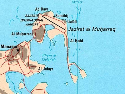
| Opis | Bahrain (Political) 2003 | |||
| Datum | ||||
| Izvor | CIA [1][2] | |||
| Autor | CIA | |||
| Dopuštenje (Naknadna uporaba ove datoteke) |
|
|||
| Ostale inačice |


![[2]](http://www.lib.utexas.edu/maps/middle_east_and_asia/bahrain_pol_2003.jpg)
Povijest datoteke
Kliknite na datum/vrijeme kako biste vidjeli datoteku kakva je tada bila.
| Datum/Vrijeme | Minijatura | Dimenzije | Suradnik | Komentar | |
|---|---|---|---|---|---|
| sadašnja | 01:08, 29. siječanj 2024. | | 400 × 300 (64 KB) | Argo Navis | File:Bahrain pol 2003.jpg cropped 59 % horizontally, 75 % vertically using CropTool with precise mode. |
Uporaba datoteke
Na ovu sliku vode poveznice sa sljedećih stranica: